Commercial Drone Roof Inspection in Sandy Springs, GA
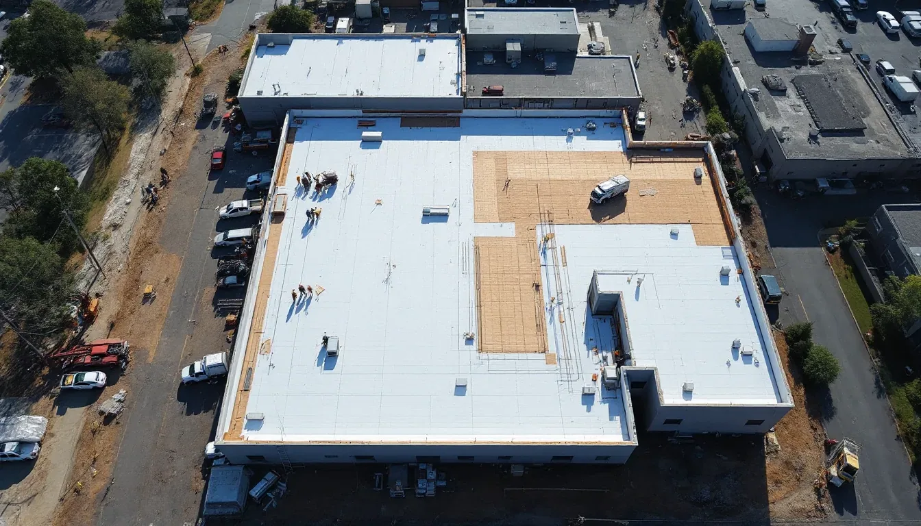
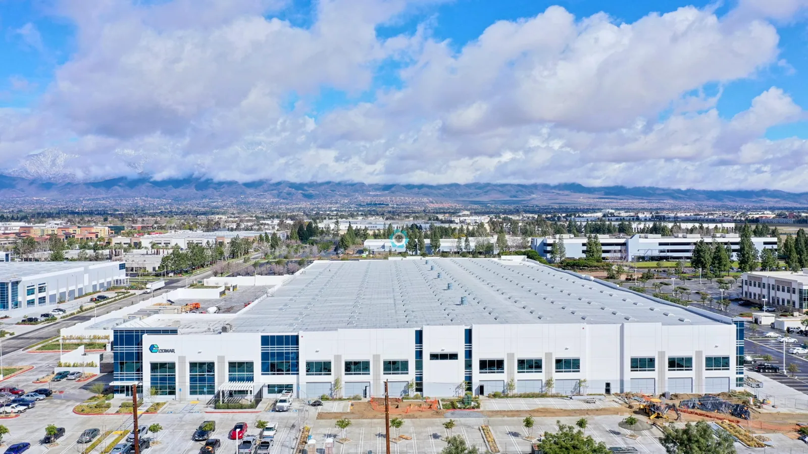
A roof section behind dense equipment or a steep transition can be difficult to document from one access point. Drone imaging adds an overhead view for mapping seams, edges, drains, and rooftop obstructions. It helps the owner see where a closer check is needed, but images do not establish what lies below the membrane. We pair flight imagery with a hands-on review of selected details and set the next action from evidence. In Sandy Springs, this can help coordinate inspections across large office or medical properties with occupied buildings below.
Roof Coverage Map
Before flight, we confirm property authorization, safe launch and landing areas, nearby constraints, weather limits, and the roof sections that need imagery. The route is planned around the building, not a generic grid. We capture edges, penetrations, equipment groups, drainage features, and areas where the surface changes. The resulting map identifies which zones were visible, which were obscured, and where a second method is needed. A commercial roof inspection can pair overhead context with a closer view of the seams and details that determine repair scope.
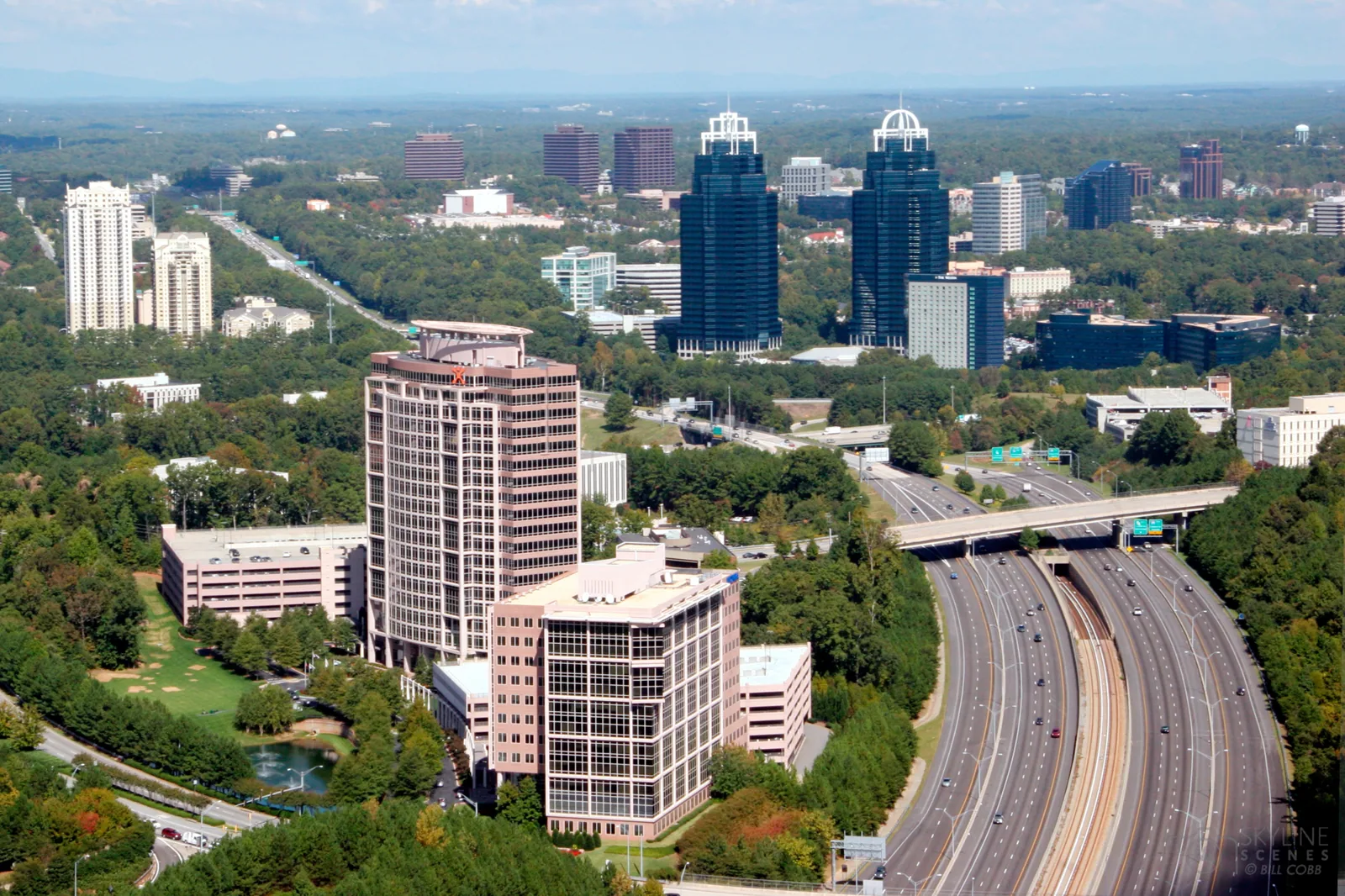
Central Perimeter combines a large office market with four MARTA rail stations and regional access from I-285 and Georgia 400. A multi-building owner there may need consistent roof-zone labels to compare several structures, while each building still receives its own coverage record. For properties in Central Perimeter, we coordinate access with the site contact and note equipment areas where an overhead image cannot replace a field inspection.
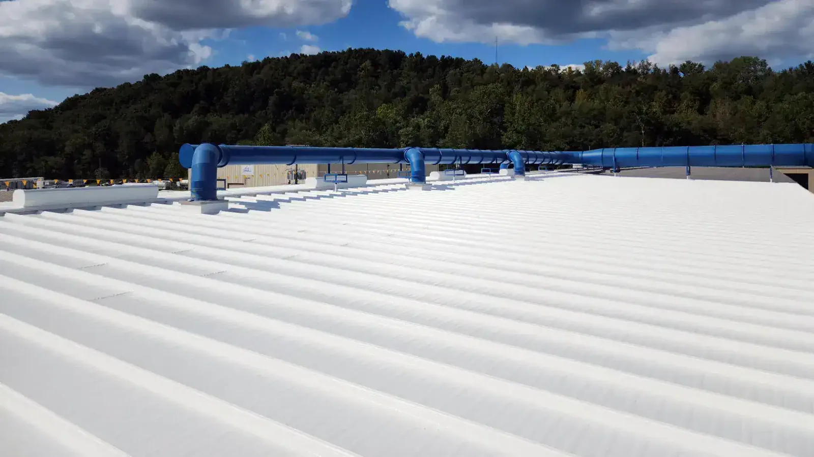
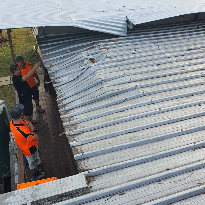
Image-Based Review
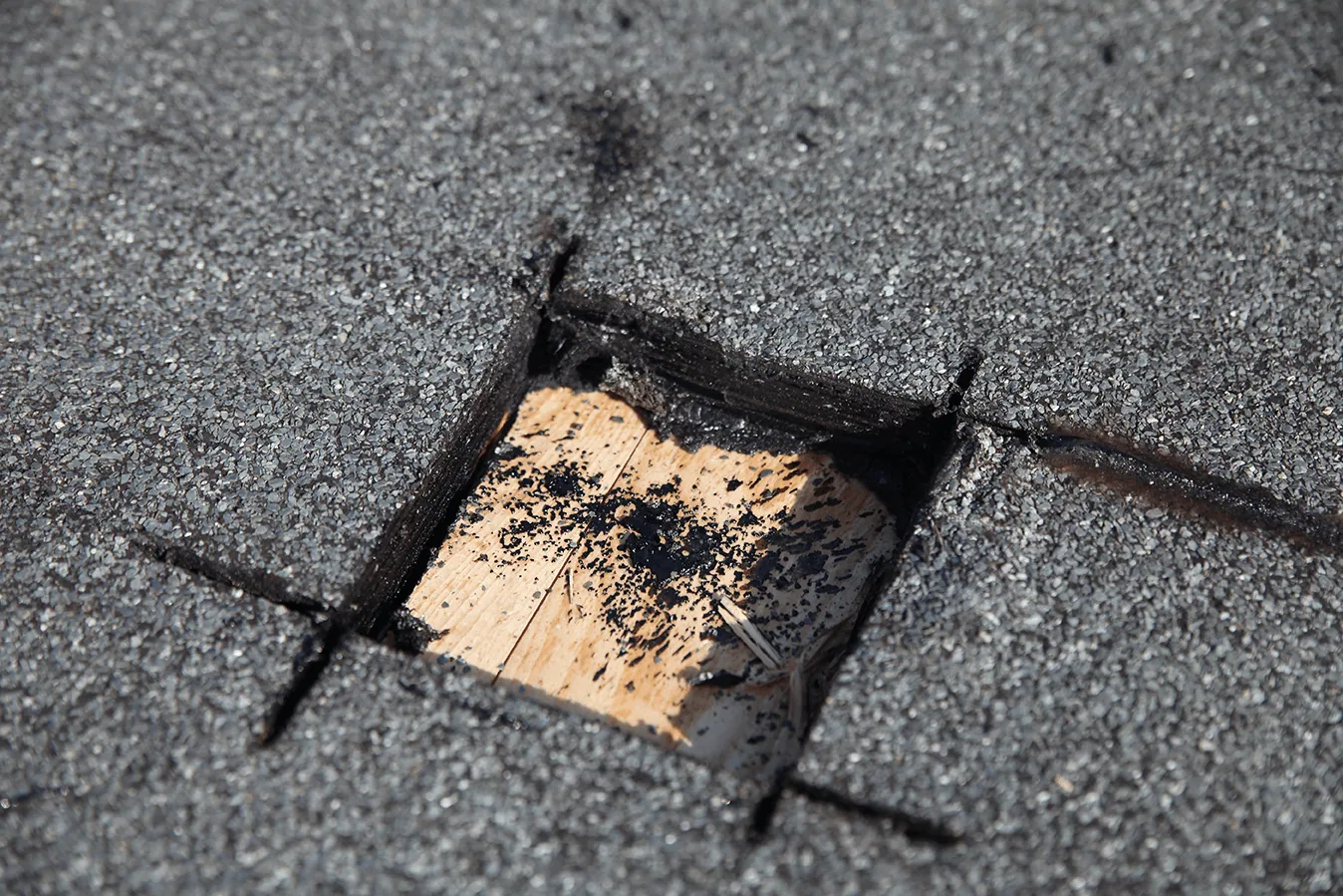
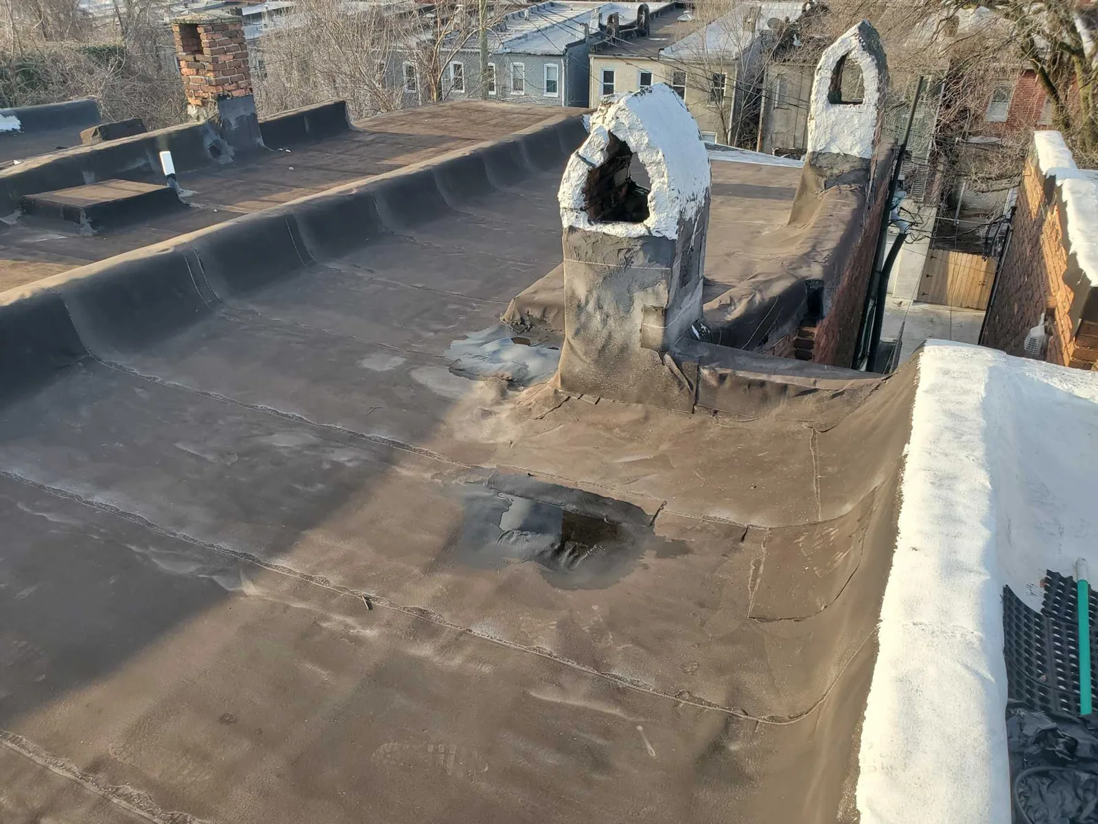
Overhead views can show displaced edge metal, debris accumulation, open-looking laps, standing water, or equipment crowding that is difficult to see from the hatch. The image helps locate a condition and compare it with a roof plan or previous flight. It cannot confirm that insulation is wet, a seam is open through its full length, or a membrane has lost attachment. We mark candidate areas and test them directly. A moisture survey or controlled opening may follow when the concealed assembly changes the repair decision.
Near the Roswell Road North End corridor, the city is updating transportation and pedestrian features while redevelopment planning considers retail, office, housing, and green space. That activity can affect access and staging for owners coordinating multiple properties. Flight authorization and launch location are confirmed at each building, and the imagery record stays tied to the roof actually captured.
Image Limits
Wind, rain, heat, glare, shadows, reflective surfaces, rooftop screening, and nearby obstacles can affect what the camera captures. A flight may need to be rescheduled if weather or airspace conditions do not allow a safe collection. We identify date, coverage, image quality, and areas blocked from view. The owner receives a clear distinction between visual observations and questions that require physical access, probing, moisture testing, or an opening.
Atlanta-area summers bring heat and humidity, while spring and summer storms can produce damaging thunderstorm winds. We check current conditions before launch and stop if gusts or precipitation exceed the safe operating window. A storm-damage review is separate from image collection: a wind inspection tests edge metal, attachment, and seams after an event. A ponding-water assessment checks a low area from the roof surface and after drainage clears.
Medical properties near the Sandy Springs Medical District may require access coordination around patient areas and sensitive operations. We work from property authorization and applicable flight restrictions, and imagery is limited to the approved roof area. A medical district roof survey should identify the operating contact and any areas excluded from capture before equipment is deployed.
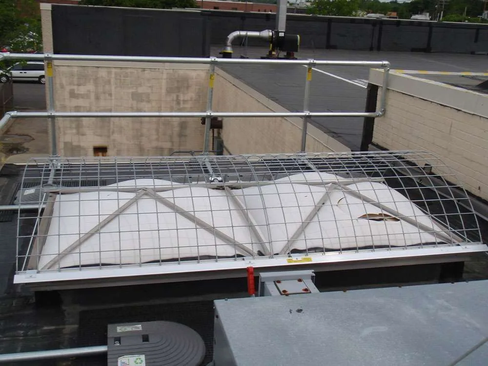
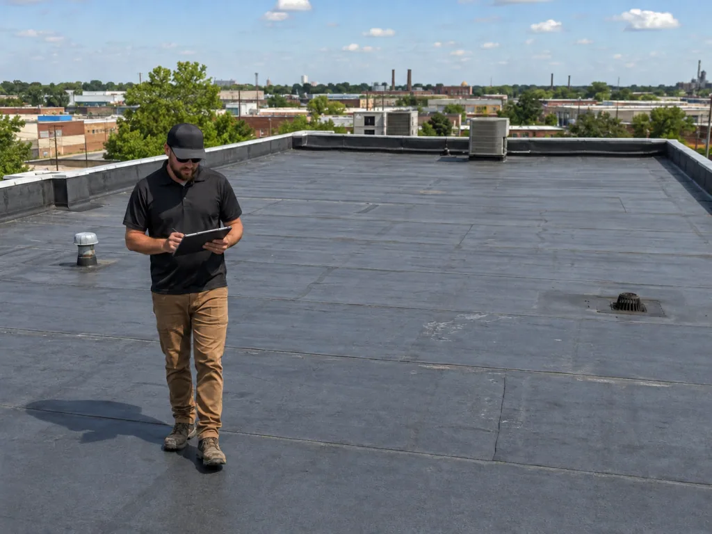
Repair and Budget Decisions
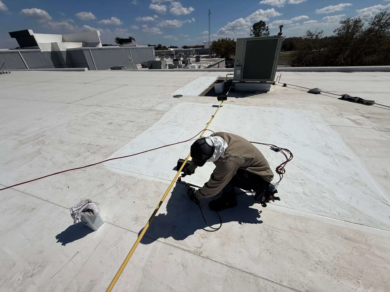
Images are most useful when they answer an owner question: which roof sections need close inspection, where access is difficult, whether a repair changed the visible surface, or how rooftop equipment is distributed. We label the observations on the same zone map used for Diligence Notes. A view of scattered surface marks does not justify replacement on its own. We verify the membrane and substrate, test suspected defects, and compare the confirmed work boundary with the cost and timing of renewal.
For a portfolio, the image set can help compare condition trends without substituting for a building-level survey. A multi-site roof program can apply consistent labels and inspection dates across properties. The owner still needs a separate record of each assembly, maintenance history, and access limitation. A capital planning review can then distinguish immediate repairs from a later budget window using verified findings rather than image counts.
Image Deliverable
The deliverable can include a labeled overview, selected close images, flight date, roof-zone key, areas not captured, and a list of candidate details for field verification. We connect each image to a practical action: monitor, clear, inspect, test, or repair. If an image suggests an opening, a hands-on check confirms the seam, flashing, or substrate before permanent work is proposed. That makes the final record useful to facilities and finance staff who were not present during the flight.
City Springs combines civic, retail, dining, event, and residential uses on a connected street grid. Access and operations at a specific property remain the owner's direction. For a site in City Springs, we schedule imagery around the building's access and activity, then provide the image key with the roof section labels. If an image raises a leak concern, a leak investigation can follow the water path and set an actual repair boundary.
Send the property plan, existing roof map, areas of concern, site authorization, access limits, and decision deadline. We will confirm flight feasibility and identify whether imagery alone answers the request or should be combined with a roof walk. The report records any area that needs a different inspection method before budget or repair decisions are finalized. For a multi-building owner, each image should carry the building, roof zone, and capture date so the repair file distinguishes one property from another.
Questions About Commercial Drone Roof Inspection
What can aerial roof images establish before a hands-on leak inspection?
It can locate visible conditions and help map a possible route, but it cannot confirm concealed moisture or every seam opening. We use images to select details for hands-on inspection, moisture testing, or a controlled opening when those findings could change the repair boundary.
What roof conditions show up well in aerial images?
Broad layout, equipment density, visible debris, edge conditions, surface changes, and some areas of standing water can be easier to compare from above. Shadows, glare, obstructions, and image angle can limit detail. We identify candidate areas and verify them from the roof before recommending work.
Do you still need to walk the roof after a drone flight?
Images can identify the detail for hands-on review, but a repair decision still needs close inspection when the membrane, attachment, or material is in question. We use the flight to focus the roof walk, test suspect areas, and record anything that imagery could not resolve.
Can drone imagery be collected over an occupied Sandy Springs property?
Property authorization, safe launch space, weather, and applicable restrictions govern whether we can fly over an occupied Sandy Springs property. We coordinate the route and excluded areas with the owner. The property contact can identify any activity that calls for a different collection window.
What will the owner receive after the flight?
A labeled overview, selected images, date, roof-zone references, areas not visible, and prioritized field checks can be included. We connect each image to the next action and identify where direct testing is needed before a repair or renewal scope is prepared.
Plan an Overhead Roof Survey
Share the roof plan, areas of concern, site authorization, access limits, and decision deadline. We will confirm flight feasibility and whether a roof walk or moisture test should accompany imaging.
Call 555-555-5555 or send the building details.